
Stage 30 – O Cebreiro – Triacastela
Total Distance – 21.3 km (13.2 miles)
Adjusted for Climb – 22.3 km (accrued ascent 200 m = 1 km)
High Point: O’Cebreiro at 1,330 m (4,363 feet)
CLICK ON THE PICTURES TO ENLARGE TO FULL-SIZE
Please note that some names may be in Galician – you’ll now it when you see it.
Finally were we firmly in Galicia – the promised land! The stage before us had some initial climbs before it went almost completely downhill and frankly I didn’t mind that at all. Usually I’m weary of downhill stages because that’s when you tend to get hurt but I was so happy to be in Galicia, every step taking me closer to Santiago, that I didn’t care. I did begin to notice that the churches that we were starting to see in Galicia were much smaller and older than others on the Camino. Also the countryside was greener – those Atlantic winds and storms being caged in by the mountains made Galicia a green haven.
We started the day in a heavy mist and everything from O Cebreiro down was socked in.


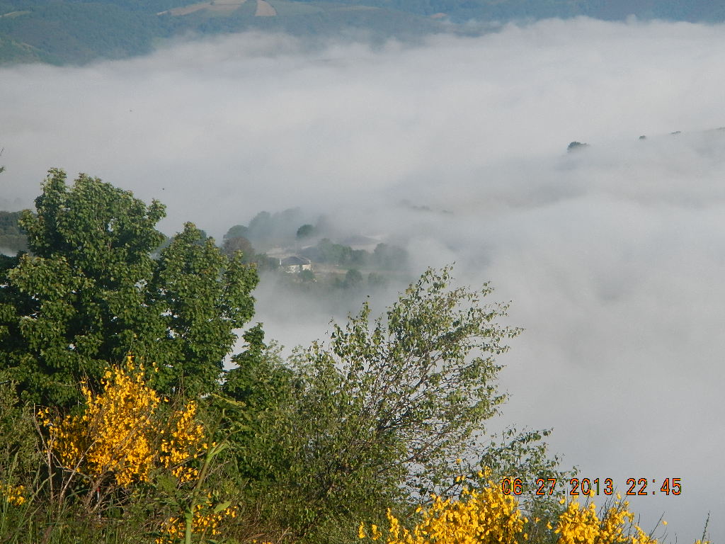

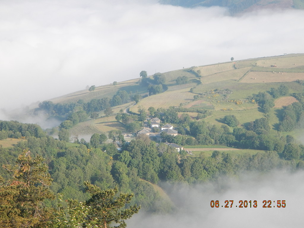
Heavy clouds covering the Valley floor.
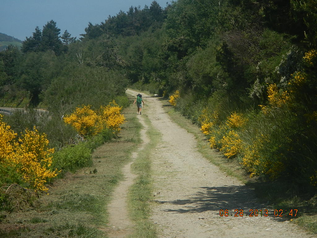
Soon we were on a forested trail.

The way through the woods

We had plenty of signs to show us the way!
 The first village that we saw was called Liñares. Dating back to at least the 8th century – we know this because it was mentioned in an 8th centruy document – and mentioned in the 12th century Codex Calixtinus or Liber Sancti Jacobi – Liñares was named for its flax fields that provided linen.

The village of Liñares
All along the ridge we were to see fields with Scotch broom and spiky green plants that I found out later were wild absinthe.

Sue walking toward the mist

I had to stop for a picture!
Peregrinos approaching Linares
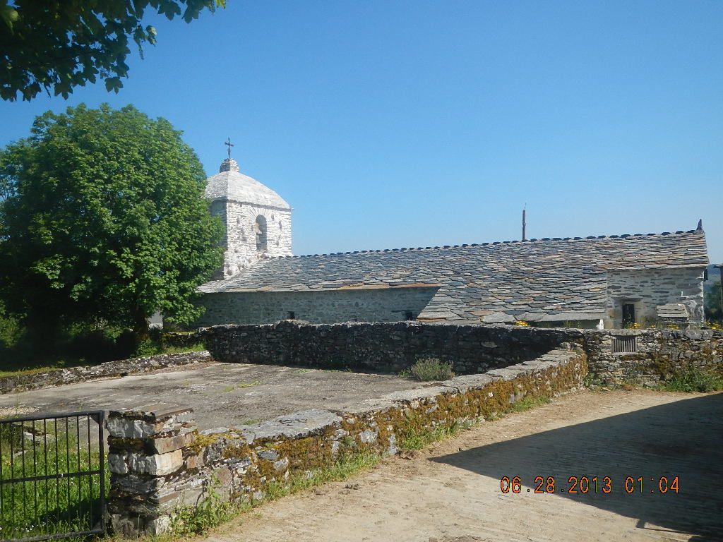
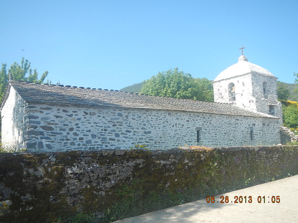
The iglesia San Esteban in Liñares was built prior to 1120 and restored in 1963.

The iglesia San Esteban

Narrow entrance to the church

My father-in-law will like that this church is still in use!

Notice the scallop shells on this Santiago Peregrino. I like his dog!


You can see where the restoration work was done.
After a brief stop at the iglesia San Esteban we were soon on the move again. At the Alto San Roque (1,270 meters, 4,166 feet) were were soon upon the Monumento do Peregrino. This large statute on a stone base is a tribute to all the peregrinos who decide to walk the Camino. As you can see from the pictures below the statute represents a peregrino with his satchel and hat, balancing himself on a walking stick while fighting the elements, the winds, rain, snow or sleet, that stand between him and his destination. At the time I just stood there to take it all in I wasn’t thinking; “Hey, that’s me!” but now with the fullness of time I can honestly say, “Hey, that was me!!”

Once again we are moving downhill
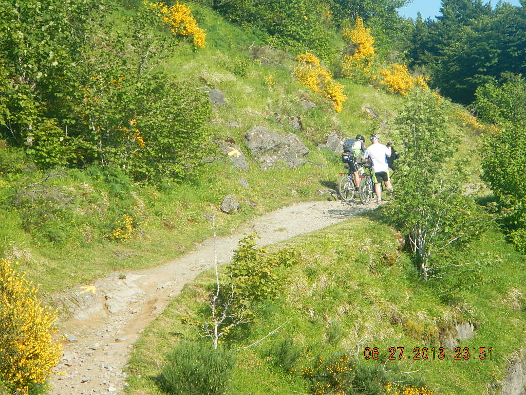
Cyclists were too!!


Monumento do Peregrino near the Alto San Roque (1,270 meters)

I think the statute was also telling me, “You’ve made it this far, past all the really difficult obstacles, now it’s time to bring it home to Santiago!”
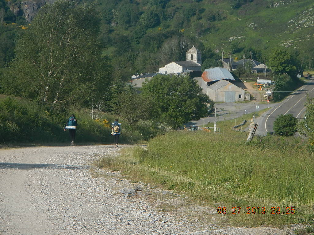
Continuing on to another 2 kilometers past this monument we came to the village of Hospital da Condesa (in Spanish, Hospital de la Condesa). This village was the site of a pilgrim hospital that was established here in the 9th century by the Condesa doña Egilo, the wife of the Conde Gatón. The only remains of that hospital is la iglesia parroquial de San Xoán (San Juan) . This church is laid out in the form of a Latin cross and has an exterior stairwell that leads to a cupola. The church once belonged to the Knights Hospitalers of St. John of Malta..
la iglesia parroquial de San Xoán (San Juan)


The outer stairwell leading to the cupola.

Notice the small entrance to the church


Having a conversation with the lady volunteer at the church after getting my credencial stamped

The scenery outside of Hospital de la Condesa
Soon we were approaching the hamlet of Padornelo which although in 1985 had 3 inhabitants had been the home at one time a priory of the Hospitallers of San Juan de Jerusalén.

Yellow arrow showing us the way
Peregrina up ahead of us

A palloza just outside of Padornelo


Sue taking a picture of the bulls in Padornelo. I affectionately like to call this picture, “The Boys are Back in Town!”
Alto do Poio pass (1,337 meters, 4,386 feet) and there we stopped again to see a very rustic chapel.

Sue taking in the beautiful sights


I wish I knew the name of this chapel.

I wish I knew the name of this chapel.
At this point although we had 12.5 kilometers to go to reach Triacastela our final destination we were feeling really strong and as a result we flew and covered the 12.5 kilometers in a little over 2 hours.


Plaque praising the architectural restorations in the village of Ramil and town of Triacastela that were sponsored by the Ministry of Culture.

Village of Ramil

A 800 year old tree

That’s the entrance to Triacastela!
